This is a short video showing the bank and ditch construction and how questions and answers lead us to more questions.
(Graphics by )
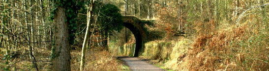
Ruardean site
loading map - please wait...
Hedge, R. (2023) The Incurable Archaeologist, The Incurable Archaeologist. Available at: incurablearchaeologist.wordpress.com.